Thinking about a move to North Indian Trail? You likely want a clear picture of schools, parks, commute options, and what day-to-day life feels like before you commit. You also want reliable sources to verify the details for your exact address. In this guide, you will find practical steps, trusted local links, and a simple checklist to help you make confident decisions. Let’s dive in.
What counts as North Indian Trail
North Indian Trail sits in Northwest Spokane. Neighborhood lines can shift depending on who you ask, so start by confirming the boundaries you care about. The City maintains neighborhood pages and maps that are helpful for scoping the area you mean when you say “North Indian Trail.” You can review current neighborhood outlines on the City’s site and cross-check parcel-level details like lot lines and zoning.
- Use the City’s neighborhood pages to orient yourself and find the local council page: City of Spokane — Neighborhoods.
- For parcel boundaries, zoning, and tax data, open the County’s map tools: Spokane County GIS.
Confirming your exact location up front makes the rest of your homework, like school assignments and commute times, much more accurate.
Schools and childcare
Public school assignments depend on the district’s current boundary maps and can vary from one block to the next. Most of this area is within Spokane Public Schools, but always verify for the specific address.
- Start with the district site and use the school boundary lookup: Spokane Public Schools.
- Review school performance data on the state’s official portal: Washington OSPI Report Card.
When you explore schools, look at assignment, transportation, and programs, not just test scores. District and OSPI pages will note student enrollment, program offerings, and demographic context. If you need kindergarten or preschool, the Washington State Department of Children, Youth and Families lists licensed childcare and preschool providers. For after-school options, check City of Spokane Parks & Recreation and local community organizations for seasonal programs and camps.
Tip: If school pickup and drop-off matter for your schedule, do a practice run during a typical weekday. Note crossing points, sidewalk coverage, and traffic near the school entrance.
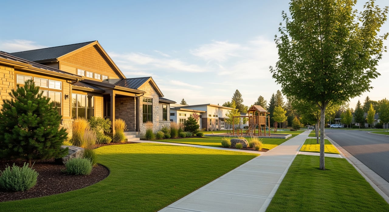
Parks and outdoor life
Access to green space is one of the reasons many people consider North Indian Trail. You will find pocket parks in the neighborhood for quick playtime and fields, courts, and picnic spaces nearby. For larger adventures, you are a short drive from the Spokane River, basalt bluffs, and extensive regional trails.
- Use the City’s Park Finder to locate the nearest playgrounds, restrooms, and shelters, and to check for any current closures: City of Spokane Park Finder.
- For hiking, biking, and river access, explore the nearby regional gem at Riverside State Park, which includes multiple trailheads and day-use areas along the Spokane and Little Spokane rivers.
When planning park time, look for parking availability, bathroom access, ADA notes, and any seasonal maintenance updates on the official park pages. For longer outings, consider drive times at peak and off-peak hours so you know what to expect on busy weekends.
Daily errands and services
The Indian Trail Road corridor offers everyday conveniences like grocery shopping, coffee, dining, and personal services, with additional retail options along Francis Avenue and nearby north-side shopping centers. You will also find pharmacies, banking, and fitness studios a short drive away.
Healthcare access includes primary care and urgent care options in North Spokane, with major hospital systems located in North and Downtown Spokane. If proximity to a specific provider is important, map drive times during the hours you would typically go, such as before work or early evening.
Libraries, community centers, and youth sports leagues are within easy reach. The City’s sites list facility hours and program schedules, so you can plan ahead for swim lessons, youth sports sign-ups, and seasonal camps.
Commute and mobility
For many residents, the primary commute is to Downtown Spokane, medical centers, universities, or North Spokane employment areas.
- Driving routes: Common routes include Indian Trail Road to Francis Avenue, then Maple or Ash into Downtown, or connecting to the North Spokane Corridor and I-90 for cross-town travel. Plan extra time during winter weather.
- Transit: Spokane Transit Authority serves this area with local bus routes that connect to North Spokane and Downtown hubs. Check route maps and frequency on the official site: Spokane Transit Authority.
- Walkability: Sidewalk coverage varies by block. For a quick snapshot of walkability and transit convenience, review current scores and then ground-truth it on foot: Walk Score.
To understand your real-world commute, test a weekday morning and late afternoon drive using your preferred map app. Note where traffic tends to back up and whether a different route saves time.
Safety and emergency resources
If you want to review recent incident data, use official sources rather than social media threads. The Spokane Police Department maintains crime statistics and mapping tools, which let you filter by type of call and time frame. Always compare any data to citywide patterns so you have context.
- Start here for official data and links to mapping tools: Spokane Police Department Crime Statistics.
For fire and EMS coverage, the City of Spokane Fire Department lists station locations and service areas. Response times and coverage can vary, so consider proximity to main arterials when evaluating a property.
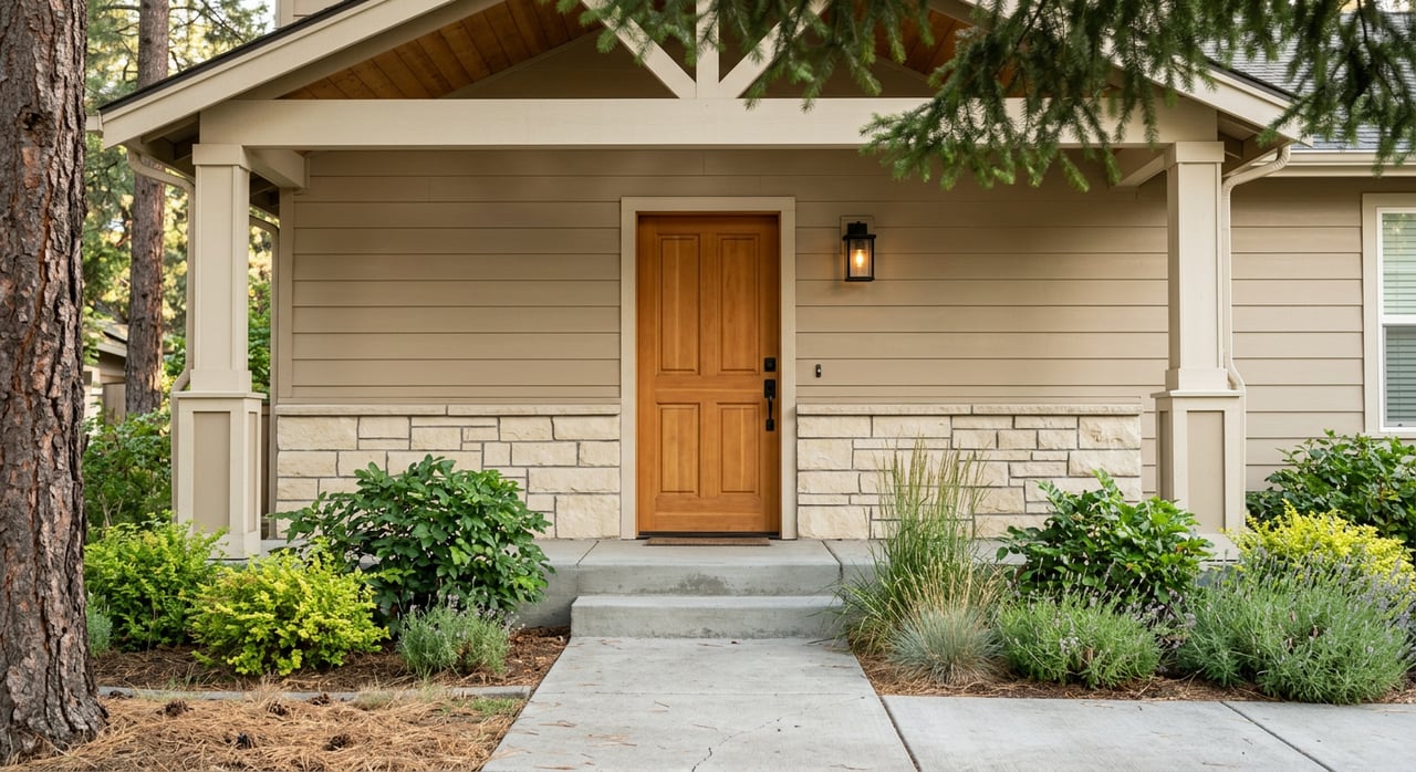
Housing and home types
North Indian Trail is known for a predominance of single-family homes, many on curving streets and cul-de-sacs that follow the area’s hilly topography. You will find a mix of ages and styles, including established homes and some newer infill. Lot sizes and yard spaces vary by block and subdivision, so verify details at the parcel level and with recent sale history.
- Check parcel size, tax records, and construction history on Spokane County GIS.
- For market trends such as days on market and current inventory, review the latest neighborhood-level insights via the local MLS or Spokane Association of Realtors reports. Because those numbers change monthly, ask for the most recent data before you set expectations.
If you are planning updates, map out your renovation scope early. A quick walk-through with a contractor-savvy agent can help you prioritize fixes that will matter for inspection and resale, and avoid over-improving for the block.
Community rhythm and lifestyle
Daily life here tends to center on neighborhood parks, youth activities, and quick access to river trails. Weekend routines often include farmers markets elsewhere in the city, sports practices at nearby fields, and easy day hikes along the Spokane River. Neighborhood councils and community calendars highlight clean-up days, seasonal gatherings, and development updates.
- To stay plugged in, start with the City’s neighborhood pages and council listings: City of Spokane — Neighborhoods.
If you are new to Spokane, plan a few visits at different times of day. Walk a couple of blocks in the evening, drive main routes during school hours, and visit area parks on a Saturday. You will get a better feel for traffic, parking, and everyday rhythm.
How to verify before you buy
Use this quick checklist to confirm the details that matter for your address.
- Confirm the neighborhood and parcel: Cross-check the City’s neighborhood pages and Spokane County GIS for boundaries, zoning, and lot dimensions.
- Verify school assignment: Use the Spokane Public Schools boundary lookup on the district site and review OSPI Report Card data for context.
- Test commute times: Drive your route at your usual hours and compare alternatives. If you plan to use transit, confirm schedules on Spokane Transit Authority.
- Review parks and amenities: Use the City Park Finder for playgrounds, restrooms, and accessibility notes. For regional trails, check Riverside State Park.
- Check safety data: Review official trends on the Spokane Police Department Crime Statistics page.
- Pull property history: Use County records for tax history, permits, and recent sales. Match records with the current condition during your tour.
Ready to explore homes or get a clear plan for pre-listing updates? As a fourth-generation local with hands-on construction experience, I help you weigh neighborhood fit, home condition, and long-term value without the guesswork. Reach out to schedule a conversation with Kristin Vanos.
FAQs
Which schools serve North Indian Trail addresses?
- Use the Spokane Public Schools boundary lookup on the district site to identify your assigned elementary, middle, and high schools, then review context on the OSPI Report Card site.
How long is the commute to Downtown Spokane from North Indian Trail?
- Plan for roughly a 15 to 30 minute drive depending on time of day and route, and test your exact commute during weekday peak hours for the most accurate estimate.
What parks are near North Indian Trail?
- Neighborhood parks are scattered throughout the area, and larger options like Riverside State Park offer extensive trails and river access a short drive away; use the City Park Finder for locations and amenities.
Is North Indian Trail walkable for errands?
- Walkability varies by block and by the distance to the nearest retail cluster along Indian Trail Road or Francis Avenue; check current Walk Score for a snapshot and then evaluate the actual sidewalks and crossings on foot.
Where can I check neighborhood safety and recent crime?
- The Spokane Police Department posts official crime statistics and links to maps where you can filter by date and incident type for address-level context.
How do I confirm lot size, taxes, and permits for a home?
- Look up the property on Spokane County GIS for parcel dimensions, assessed value, tax history, and recorded permits, then compare those records with on-site conditions during your tour.